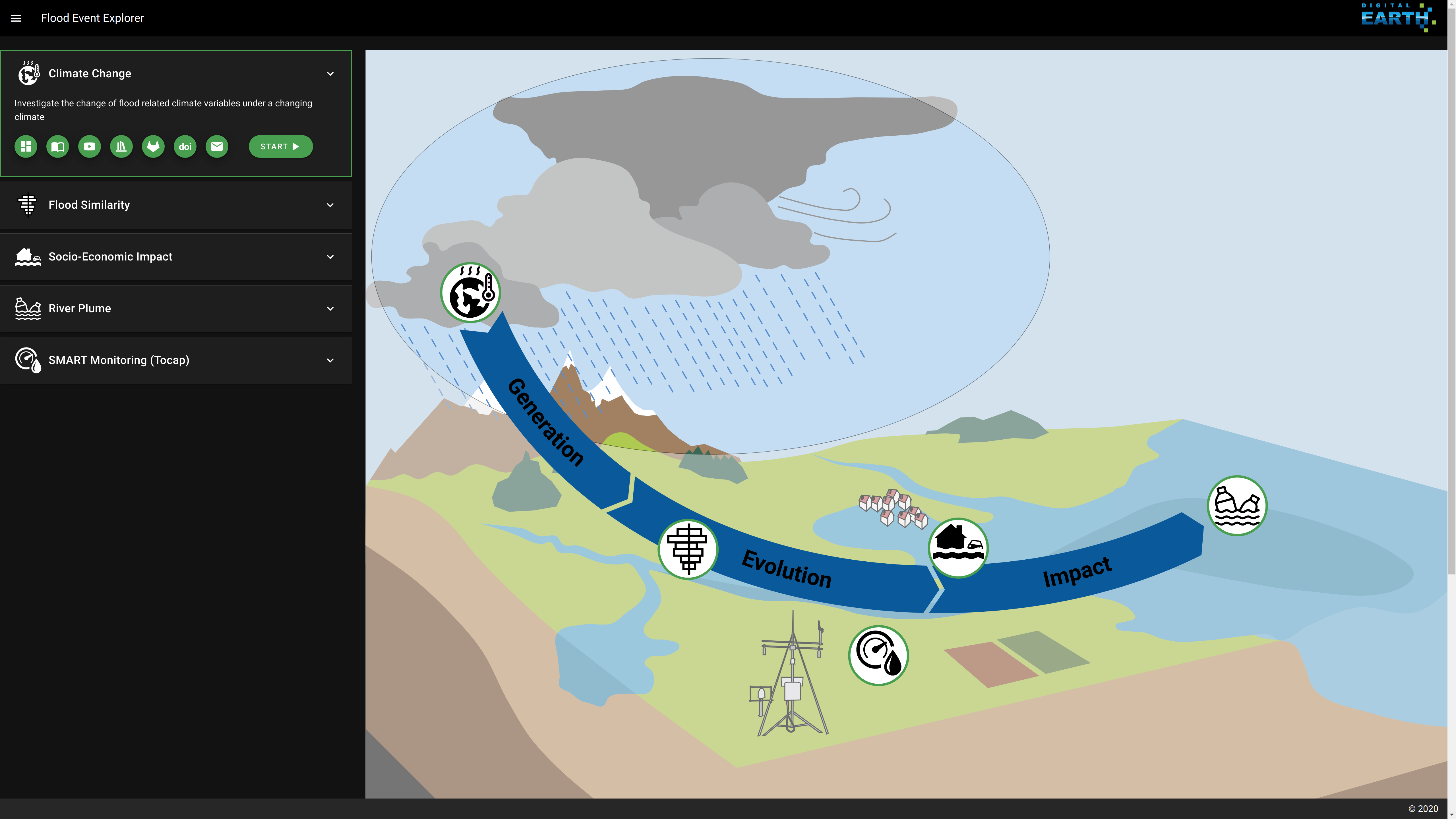
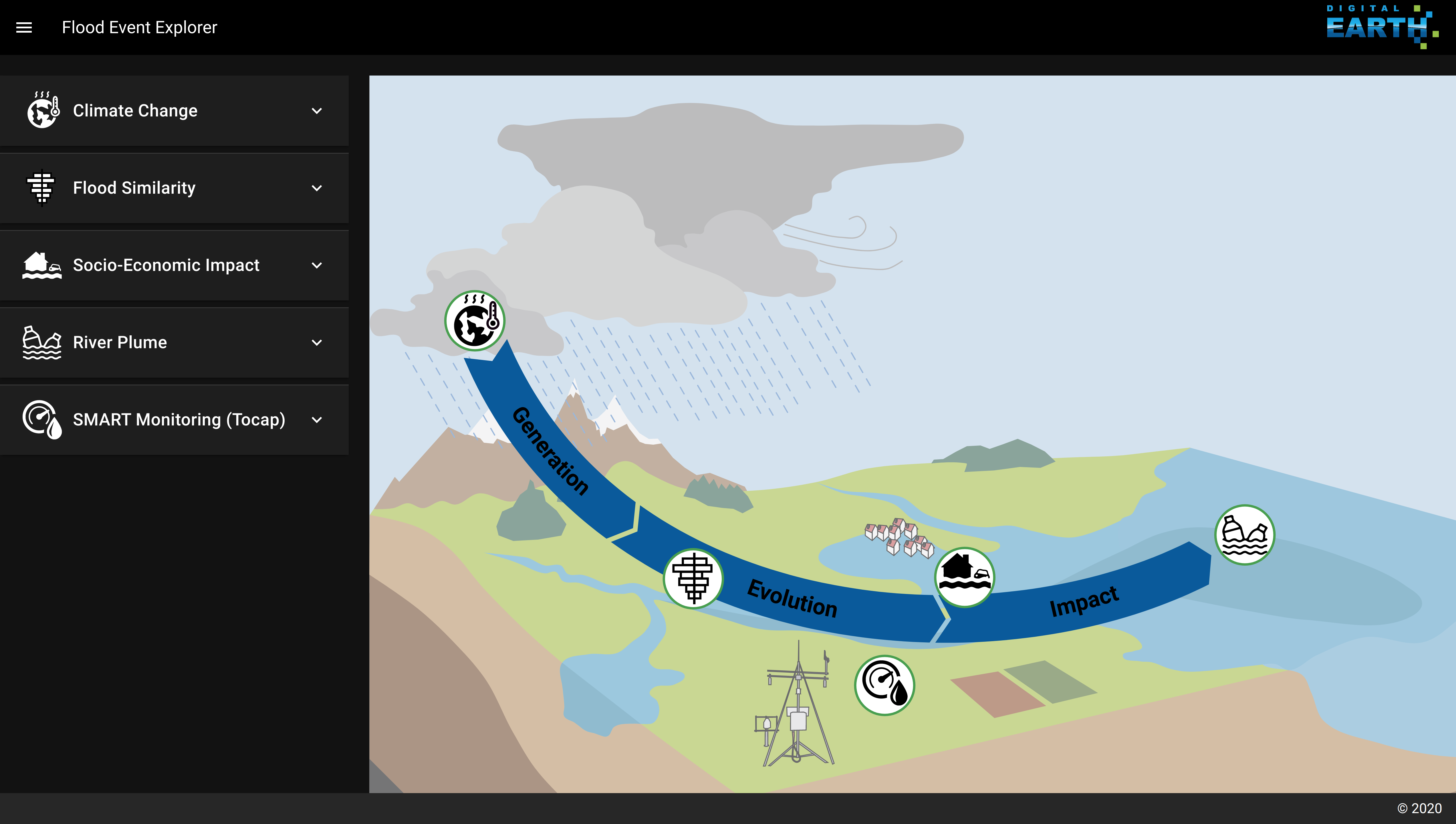
The Digital Earth Flood Event Explorer
The Digital Earth Flood Event Explorer integrates workflows, methods and data from multiple sources and computational platforms and enables scientists and stakeholders to investigate processes and controls of flood events from a more holistic view. It provides insight into floods along the process chain event generation, evolution and impact. It gives answers to questions such as:
- How does precepitation change under a changing climate?
- Why are certain flood events more destructive than others?
- How does a flood event impact the marine enviroment?
Workflows of the Flood Event Explorer
The Digital Earth Flood Event Explorer provides the following five scientific workflows under one roof:
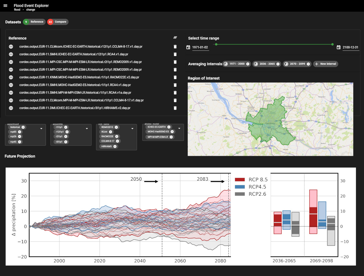
The goal of the Climate Change Workflow is to support the analysis of climate-driven changes in flood-generating climate variables, such as precipitation or soil moisture, using regional climate model simulations. It should support to answer the geoscientific question How does precipitation change over the course of the 21st century under different climate scenarios, compared to a 30-year reference period over a certain region? It supports scientists to define regions of interest, customize their ensembles from the climate model simulations available on the Earth System Grid Federation (ESGF), and define variables of interest and relevant time ranges.
Workflow Details
More information about the the workflow (such as flowchart, software, user manual, video, publications) are made accessible through the Flood Event Explorer landing page (green buttons).
Visit the Climate Change Workflow through the Flood Event Explorer Landing Page. 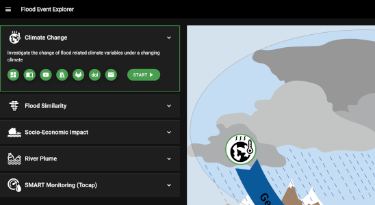
Contact
- Bente Tiedje, GERICS: bente.tiedje(at)hzg.de
- Christine Nam, GERICS: Christine.Nam(at)hzg.de
- Diana Rechid, GERICS: diana.rechid(at)hzg.de
- Laurens Bouwer, GERICS: laurens.bouwer(at)hzg.de
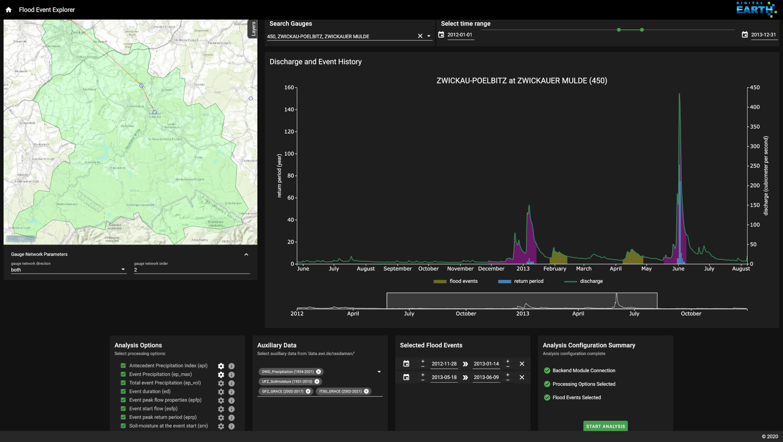
The goal of the Flood Similarity Workflow is to allows scientists the assessment and comparison of arbitrary flood events by exploring and comparing hydro-meteorological controls of flood events such as precipitation or soil moisture. It should support to answer the question “What makes a flood exceptional?”. The workflow supports the exploration of discharge time series data for hundreds of gauging stations and its auxiliary data. It includes around 500 gauging stations in Germany comprising discharge data and the associated extreme value statistics as well as precipitation and soil moisture data. This provides the basis to identify and compare flood events based on antecedent catchment conditions, catchment precipitation, discharge hydrographs, and inundation maps. The workflow also enables the analysis of multidimensional flood characteristics including aggregated indicators (in space and time), spatial patterns and time series signatures.
Workflow Details
More information about the the workflow (such as flowchart, software, user manual, video, publications) are made accessible through the Flood Event Explorer landing page (green buttons).
Visit the Flood Similarity Workflow through the Flood Event Explorer Landing Page. 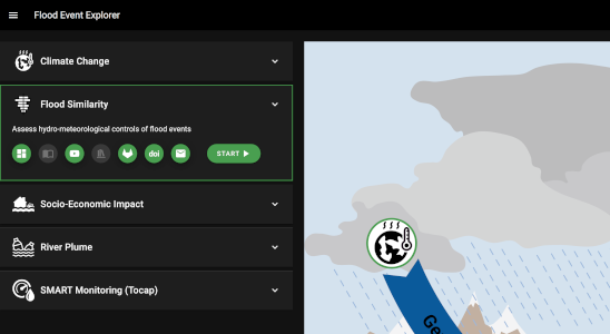
Contact
- Stefan Lüdtke, Section Hydrology GFZ: sluedtke(at)gfz-potsdam.de
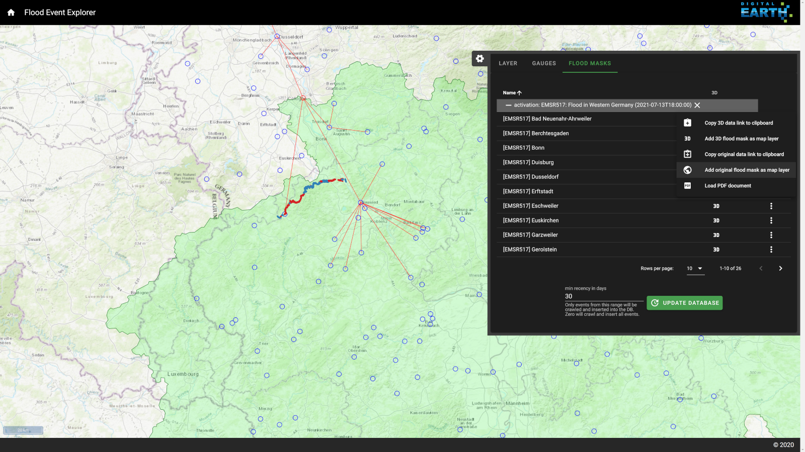
The goal of the Socio-Economic Flood Impacts Workflow is the identification of relevant controls and useful indicators for the assessment of flood impacts. It supports answering the question "What are useful indicators to assess socio-economic flood impacts?". Floods impact individuals and communities and may have significant social, economic and environmental consequences. These impacts result from the interplay of a) hazard (the meteo-hydrological processes leading to high water levels and inundation of usually dry land), b) exposure (the elements affected by flooding such as people, build environment or infrastructure), and c) vulnerability (the susceptibility of exposed elements to be harmed by flooding). In view of the complex interactions of hazard and impact processes a broad range of data from disparate sources need to be compiled and analysed across the boundaries of climate and atmosphere, catchment and river network, and socio-economic domains. The workflow approaches this problem and supports scientists to integrate observations, model outputs and other datasets for further analysis in the region of interest.
Workflow Details
More information about the the workflow (such as flowchart, software, user manual, video, publications) are made accessible through the Flood Event Explorer landing page (green buttons).
Visit the Socio-Economic Flood Impacts Workflow through the Flood Event Explorer Landing Page. 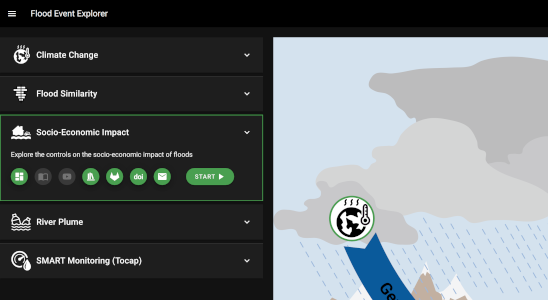
Contact
- Kai Schröter, Section Hydrology GFZ: kai.schroeter(at)gfz-potsdam.de
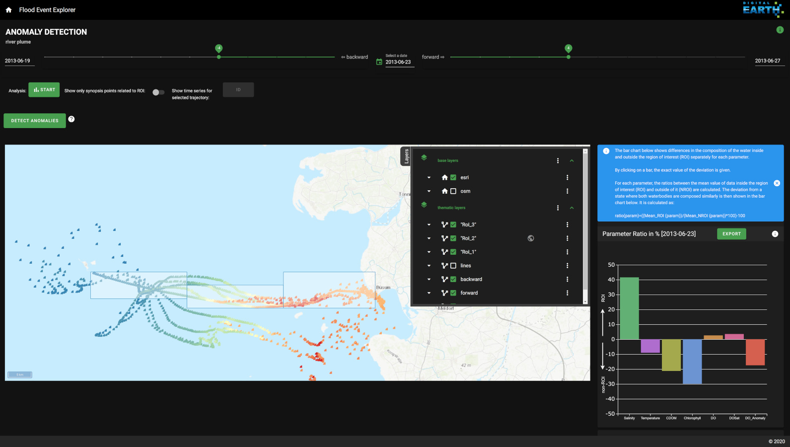
The focus of the River Plume Workflow is the impact of riverine flood events on the marine environment. At the end of a flood event chain, an unusual amount of nutrients and pollutants is washed into the North Sea, which can have consequences, such as increased algae blooms. The workflow aims to enable users to detect a river plume in the North Sea and to determine its spatio-temporal extent. It provides methods to identifying river plume candidates either manually within a visual interface or also through an automatic anomaly detection algorithm, using Gaussian regression. In both cases a combination of observational data, namely FerryBox transects and satellite data, and model data are used.
Workflow Details
More information about the the workflow (such as flowchart, software, user manual, video, publications) are made accessible through the Flood Event Explorer landing page (green buttons).
Visit the River Plume Workflow through the Flood Event Explorer Landing Page. 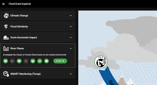
Contact
- Viktoria Wichert, Helmholtz-Zentrum Hereon: viktoria.wichert(at)hereon.de
- Nicola Abraham, Helmholtz-Zentrum Hereon: nicola.abraham(at)hereon.de
- Holger Brix, Helmholtz- Zentrum Hereon: holger.brix(at)hereon.de
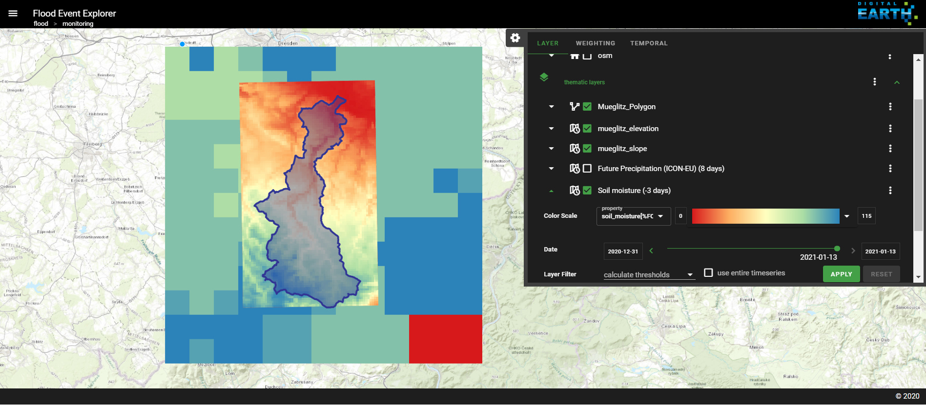
The goal of the Smart Monitoring Workflow is to determine the most suitable time and location for event-driven, ad-hoc monitoring in hydrology using soil moisture measurements as our target variable. Local and mesoscale measurements continue to be the backbone in many disciplines such as hydrology. Considering the limitations of human and technical resources, monitoring strategies for these types of measurements should be well designed to increase the information gain provided. The Smart Monitoring Workflow consists of three main steps: 1) the identification of the region of interest, 2) accessing time-dependent environmental parameters (e.g., rainfall and soil moisture estimates, weather predictions, and swath forecasts from Earth observation satellites) for the region of interest. 3) a detailed assessment of the region of interest by applying filter and weight functions in combination with multiple linear regressions on selected input parameters.
Workflow Details
More information about the the workflow (such as flowchart, software, user manual, video, publications) are made accessible through the Flood Event Explorer landing page (green buttons).
Visit the Smart Monitoring Workflow through the Flood Event Explorer Landing Page. 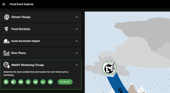
Contact
- Erik Nixdorf, UFZ: erik.nixdorf(at)ufz.de