What We Have Achieved until Now
Although visualisation is often the last step in a modern data processing pipeline, it is by no means the least important one - quite the opposite.
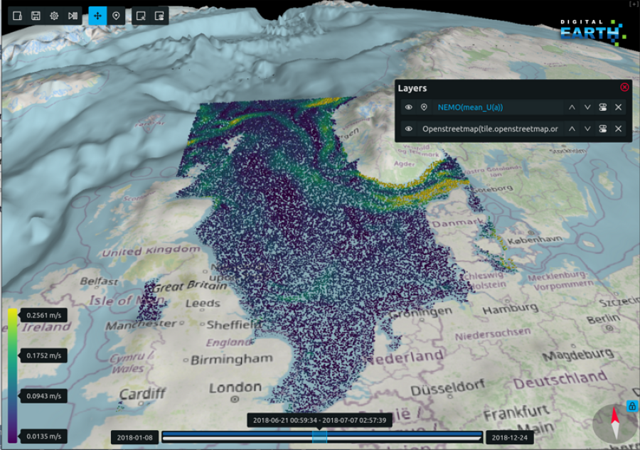
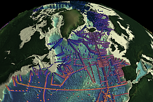
The Digital Earth Viewer is a component-wise scalable web-based framework for simultaneous visualisation of multiple heterogeneous data sources. It helps contextualise mixed observation and simulation data in time and space by creating a virtual 4D environment for the user to explore.
The software was conceived as a hybrid application split into a server back-end and a client front-end. The server back-end can be hosted remotely for access through the internet or locally for offline usage. The client front-end can be accessed using any popular web browser without the need to install any other software components.
Currently, general-purpose-sources are implemented for the netCDF, ESRI ASCII Grid, GeoTIFF and CSV file formats, as well as facilities to load data from WMS or Maptile-servers or to interact with SQLite databases. Specialised sources have been built to read and display Acoustic Doppler Current Profiler (ADCP) data, GPX tracks, and further application-specific formats. As the Digital Earth Viewer is under constant development, new sources and functionalities are being added all the time!
There are public demos for several different showcases:
 GLODAP shows measurements from the GLODAP project over terrain from GEBCO.net. It also contains early gridded versions of the GLODAP data as part of a quality control study.
 Plume shows a simulated dust cloud from the Mining Impact project over a sonar scan of terrain. This data is fused with sensor measurements from a real dust cloud with similar parameters to the simulation.
 Methane displays data from Showcase B: Methane. This includes location of methane-releasing wells, a projection of methane outflow and an animated wind-indicator.
Try one of our public demos or download a version for your favorite OS from our repository (and don't forget to check out the user manual!).
The Digital Earth Viewer is licensed under the EUPL license measning everyone can access and even modify the source code.
Several reusable components have been developed as part of the Digital Earth Frontend Framework. Check out the repository for more information.